Revolutionize Your Surveying with 3D Imaging Geophysical Survey Equipment
Product Description:
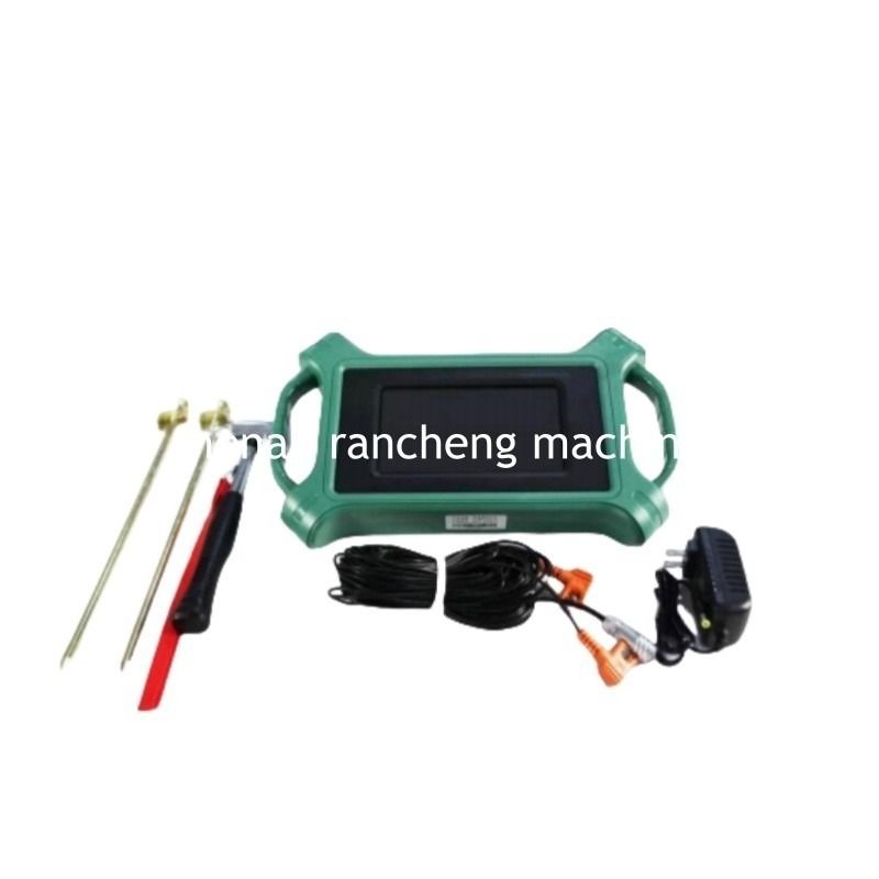
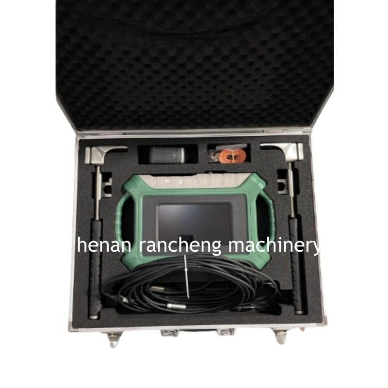
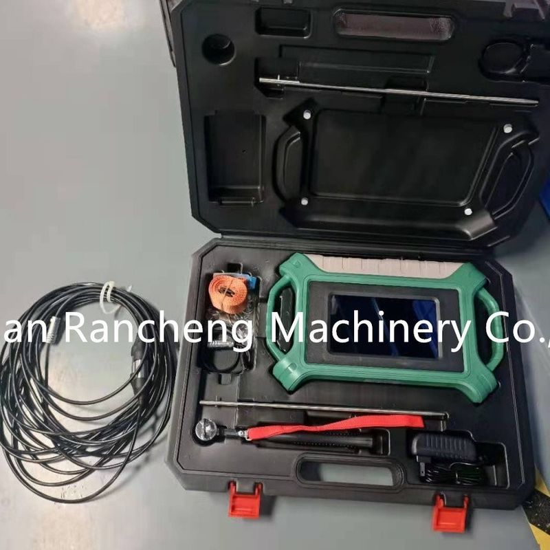
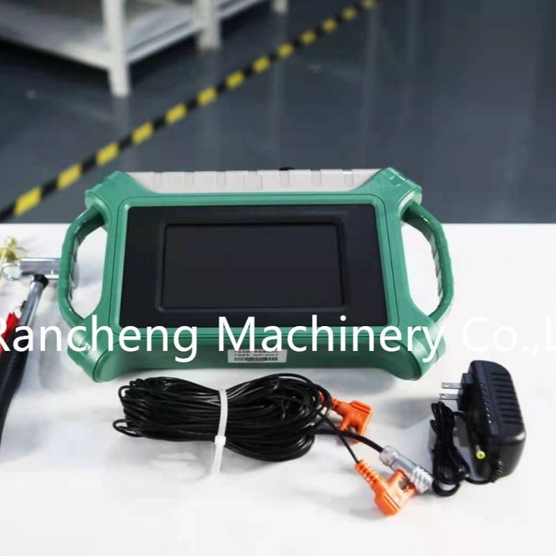
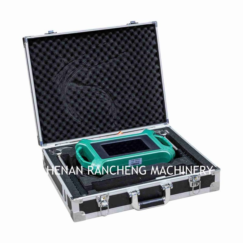
Our company has introduced a new 300-meter natural electric field detector, a portable instrument tailored for groundwater exploration and geological surveys. Leveraging multiple independent patented technologies, this device stands out for its lightweight design, user-friendly operation, high efficiency, and precision. Weighing very little, it can be easily carried and operated single-handedly, making it an ideal choice for fieldwork. With just a 10-meter measuring line, it enables rapid data collection, significantly boosting work productivity. The full-touch screen intelligent control system offers a simple and intuitive interface, allowing users to operate it without requiring professional training. It also supports external large-capacity memory cards, facilitating convenient data storage and management. One of its key features is the real-time mapping function, which can quickly and accurately identify high-resistance zones (such as fault areas) and low-resistance regions, providing solid data support for geological investigations.
Features:
Ø 3D imaging: quickly make 2D.3D images with your phone or tablet
Ø Precise and intelligent:46 years of research and development history, accurate and reliable data.
Ø Simple and efficient:APP operation is simple and easy to understand, innovative measurement methods are 3-6 times faster than traditional methods,simple and ifficient
Ø Inexperienced people can learn the operation in 5 minute
Main advantages:
Automatic imaging:The 10.1" Android touch screen is intelligent in real time into 2D, 3D and curved images.
Precise and stable:
The disadvantages of natural electromagnetic field sources, which are inconsistent in size and change from time to time, are solved and the accuracy is greatly improved.
Triple screen interoperability:
The instrument screen, mobile phone screen and computer screen are interoperable.
Technical Parameters:
| Versions |
300m-16D |
500m-16D |
1200m-16D |
2000m-16D |
3000m-16D |
| Max Depth (m) |
≤300 |
≤500 |
≤1200 |
≤2000 |
≤3000 |
| Channel Input |
16 channels input simultaneously, maximum electrode spacing 2.5m |
| Channel Options |
1-14 |
| Depth Options |
Optional within the maximum depth, refer to 100/200/300/400/500/600/800/1200/2000/3000m |
| Scan Interval |
10-80 |
| Connections |
Serial port, Wifi, Bluetooth 4.0, USB (optional 4G)
|
| Display |
10.1-inch IPS wide-angle 178° visual touch screen (1024×600) |
| OS |
Android 6.0.1 |
| CPU |
ARM Cortex-A7 8-core CPU 2.0Hz |
| GPU |
OpenGL ES 2.0 |
| Core Features |
Multiple options of depths, 2D/3D plotting, removable battery |
| Sensing Mode |
MN/TT |
| Frequency Range (hz) |
1-8K |
0.01-6K |
| Filtering |
Preset or intelligent frequency selection, analog + data filtering 1-16 times superposition optional |
| Discrim. |
0.1mV±3% |
0.01mV±2% |
| Acquisition Time (s) |
60-3600 |
120-5400 |
| Battery |
800mA/H |
| Console Weight |
1.85kg |
Applications:
Groundwater detectors are a type of professional equipment that is mainly used in the field of hydrogeological exploration. By detecting underground electromagnetic wave signals or geological structural features, the device can effectively and accurately locate key information such as the location, burial depth, and reserve size of groundwater. These data results can provide a scientific basis for drilling construction and water extraction operations, helping relevant personnel to plan drilling plans more accurately. In practical applications, groundwater detectors can not only significantly increase the success rate of drilling operations, but also avoid the waste of resources caused by blind construction, fundamentally reducing the cost of the project.
Support and Services:
Is it difficult to operate?
---The device is simple to operate and can be used without any experience.
There are related U disks with detailed information in the box.
Guide for After-sale Service
> 1-year guarantee-if using of the product is influenced due to quality problem, you may receive guarantee of the product within 1 year after the date of purchase;
> Lifetime maintenance-lifetime maintenance service is implemented on all factory series products. We offer maintenance of machine which surpasses the maintenance period or has manual damage with material and lab
Packing and Shipping:
delivery time :10-15days
standard exporting packing


 Your message must be between 20-3,000 characters!
 english
 français
 Deutsch
 Italiano
 Русский
 Español
 português
 Nederlandse
 ελληνικά
 日本語
日本語
 한국
한국
 العربية
 हिन्दी
 Türkçe
 indonesia
 tiếng Việt
 ไทย
ไทย
 বাংলা
বাংলা
 فارسی
فارسی
 polski